QGIS
Geographic information system for maps and spatial data
About QGIS
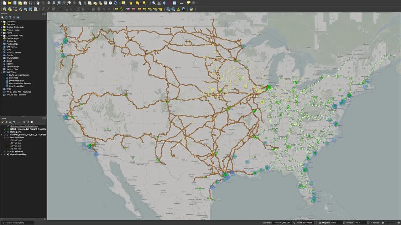
QGIS is a desktop geographic information system for viewing, editing, analysing and publishing geospatial data. It supports vector, raster and database formats, a processing toolbox and Python plug-ins.
Replaces
Paid apps you could swap for QGIS.